Sunday, March 22, 2015

Drawing to Scale

Identifying the geographic location that our ancestors first arrived to this new land can often separate a number of brick walls.  It is helpful to draw maps that are "to scale".  By this I mean tracing a map out of a recognized source to scale. The following is an example of my own family search, where the name "Jones Point" occurs.


My ancestors arrived to stay in Virginia around 1650. [They were thrown out of England after Charles I lost his head.]  Rappahannock River was the major highway to their settlement.  Where this "Jones Point" was located was one task, as well as, trying to determine if these JONES families were connected to my own family tree.

As outline in the last post, landmarks are an important indicator of the families initial location.    Tracing a map from the "mouth" [opening/starting point] using an identifiable scale [mile markers drawn] can be used to carefully locate positions along the coast line.  Following the pathway along the shore line will give the location of other creeks, points, cliffs, etc., while providing a scale in which to mark the "mile markers" that often expressed in land patents.

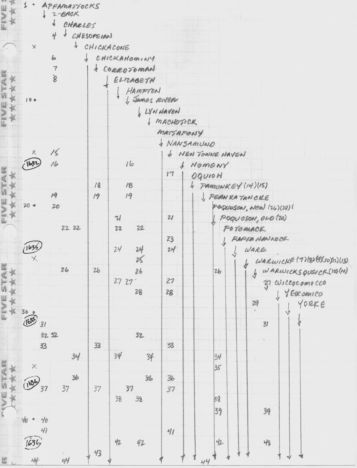
It is important to recognize that one "shore line" does not always match the same distance on the opposite shore.  Each square above is draw as "mile markers" from the starting points [Stingray Point (south side) and Mosquito Point (north side) ]  Eight miles up river on the south side is only four miles on the north side.  The bends and curves of the river will also change their course moving "east to west" and then "north to south".  Drawing maps to scale will help sort out these descriptors on land patents.

Thursday, March 5, 2015

Using Landmarks

Land surveys have been made since 1621 in the colony of Virginia.  Geographic landmarks were utilized to help locate and describe each survey. [patent]  Rivers, streams, creeks, swamps, points, bays, and many other items were often included.  Understanding the location and utilization of these geographic items can be the help needed to get around some of those brick walls.

A method used for this process is shown below.  Using an index in Volume I, Cavaliers and Pioneers, Abstracts of Virginia Land Patents and Grants 1623 - 66, by Nugent was used to outline the names of rivers, streams, creeks, swamps, etc., as they appear alphabetically in the index.


From left to right, it shows the names of rivers as they are indexed, with the page number that they are recorded falling below.  Dates were then placed along the left hand margin as they appear in the surveys.   This gives a rough chronology of the "rivers" as they become involved with a survey.  For example, the river named "Wiccocomocco" does not appear until 1635. [p.27]  The river "Nansamund" is involved in a survey before 1632. [p.17]  If an ancestor uses these rivers as landmarks for their patent, you can place these ancestors in an appropriate chronology.  Often, two to three years difference may break one of those brick walls.